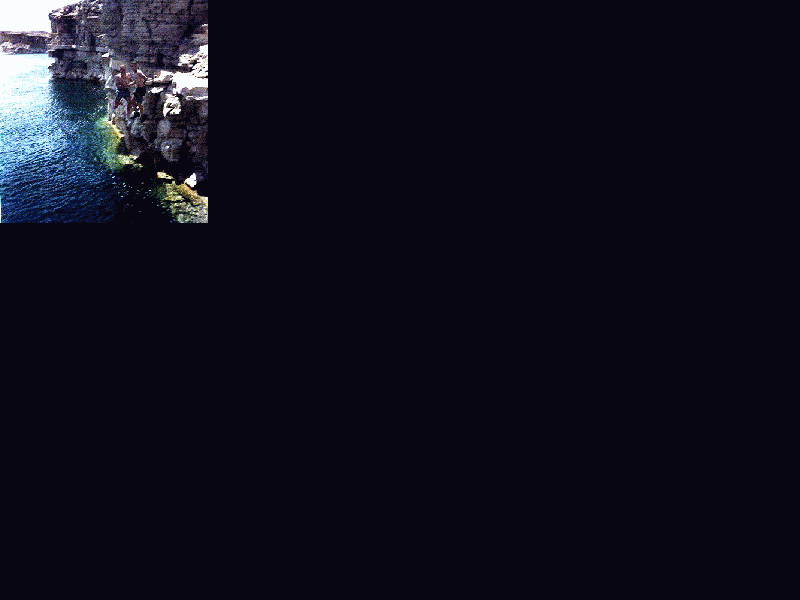
 Flaming
Gorge Reservoir. Fishing, Swimming, Campsites with and without electric
hookup, Showers, Restrooms, Drinking Water, Sanitary Dump Station, Picnic/Day
Use, Launch Ramp (small fee may apply), Visitor Information Center. This lake
lies completely within the scenic Flaming Gorge National Recreational Area
which lies partially in Utah and mostly Wyoming. The lake itself extends more
than 40 miles (33 in Wyoming) and features many coves and forks. Popular recreational
sites include Squaw Hollow and Buckboard Crossing on the western shoreline
and Firehole Canyon and Upper Marsh Creek on the eastern shoreline. Lucerne
Valley Recreation offers camping on an outer fork surrounded on three sides
by the lake on the Utah side along the southwestern section. A visitor information
center provides more information on the historical aspects of the site. From
I 80 take the Green River Wyoming exit (near the information center). Follow
Wyoming State Route 530 if you wish to see the western shoreline and visit
access points.
Flaming
Gorge Reservoir. Fishing, Swimming, Campsites with and without electric
hookup, Showers, Restrooms, Drinking Water, Sanitary Dump Station, Picnic/Day
Use, Launch Ramp (small fee may apply), Visitor Information Center. This lake
lies completely within the scenic Flaming Gorge National Recreational Area
which lies partially in Utah and mostly Wyoming. The lake itself extends more
than 40 miles (33 in Wyoming) and features many coves and forks. Popular recreational
sites include Squaw Hollow and Buckboard Crossing on the western shoreline
and Firehole Canyon and Upper Marsh Creek on the eastern shoreline. Lucerne
Valley Recreation offers camping on an outer fork surrounded on three sides
by the lake on the Utah side along the southwestern section. A visitor information
center provides more information on the historical aspects of the site. From
I 80 take the Green River Wyoming exit (near the information center). Follow
Wyoming State Route 530 if you wish to see the western shoreline and visit
access points.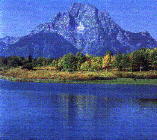 Dump
Station, Picnic/Day Use, Launch Ramp (small fee may apply). This 15 mile long
lake features many coves for excellent fishing. Three recreational sites offer
camping including Lizard Creek, Colter Bay and a site near the dam. Located
along the scenic John D. Rockefeller Parkway beginning 7 miles south of Yellowstone
National Park. Boating Permits required - see Yellowstone Lake.
Dump
Station, Picnic/Day Use, Launch Ramp (small fee may apply). This 15 mile long
lake features many coves for excellent fishing. Three recreational sites offer
camping including Lizard Creek, Colter Bay and a site near the dam. Located
along the scenic John D. Rockefeller Parkway beginning 7 miles south of Yellowstone
National Park. Boating Permits required - see Yellowstone Lake.